

Across large swaths of the United States, meteorologists and emergency officials are issuing Winter Storm Watches as a powerful system threatens to bring snow, ice and frigid temperatures from the Southern Plains to the Southeast and Midwest this weekend. With potential impacts expected as early as Friday and lasting into Sunday, communities are being urged to stay informed and prepare for hazardous travel and power disruptions. 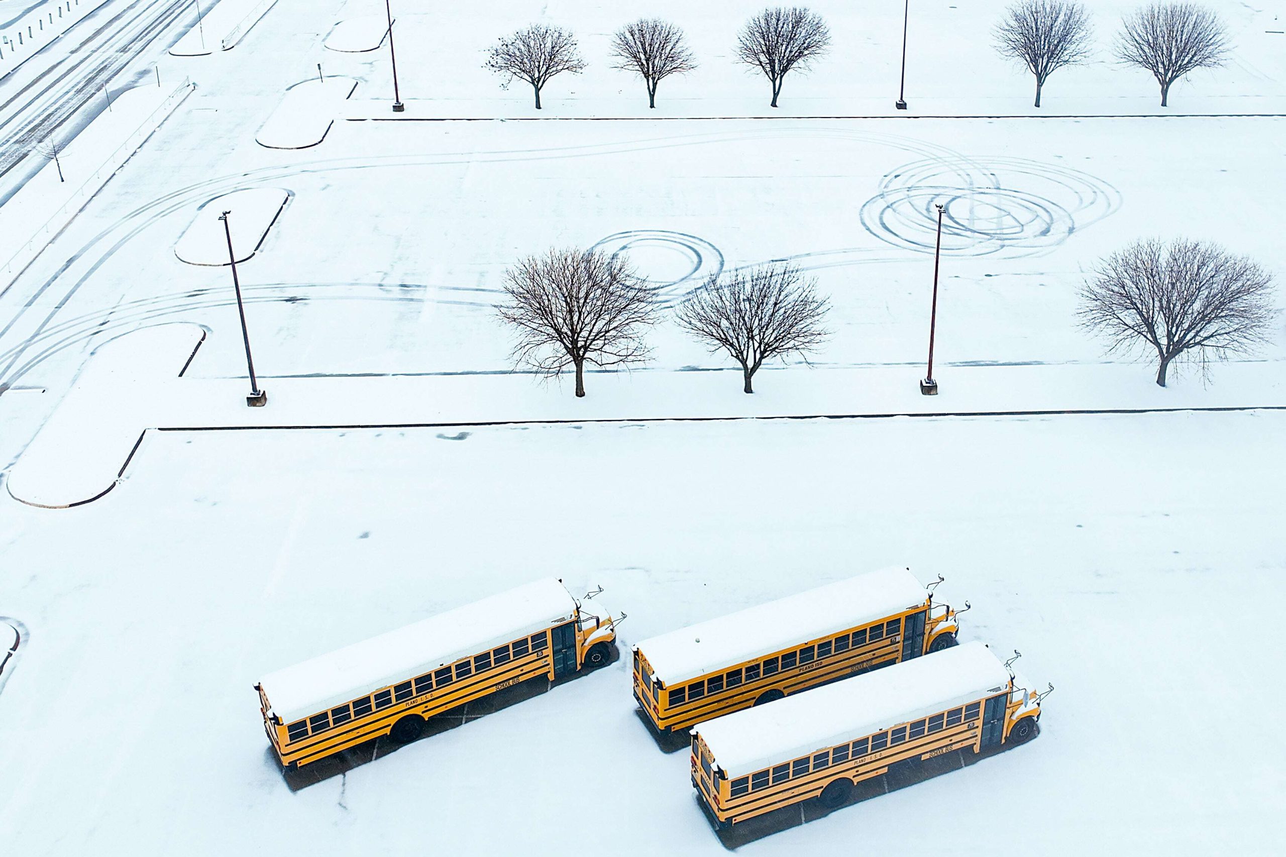
What Is a Winter Storm Watch?
A Winter Storm Watch is an alert issued by the National Weather Service indicating conditions are favorable for significant winter weather such as heavy snow, ice, sleet, or a mix of these, generally within the next 24 to 48 hours. Unlike a warning, a watch does not guarantee severe weather will occur, but it signals that it’s possible — and that people should begin planning accordingly.
Watches provide early notice, so communities, commuters, and emergency responders have time to prepare. Once forecasters gain more confidence about timing and severity, a watch may be upgraded to a Winter Storm Warning, which indicates a higher likelihood of life-impacting conditions.
Where Is the Storm Expected to Hit?
Recent coverage shows a broad corridor of winter weather risk. Winter Storm Watches are already in effect as snow and ice are forecast to begin later this week in Oklahoma, Arkansas, and the ArkLaTex. Up north of Texas and the Dallas-Fort Worth area are under alert for a treacherous mix of freezing rain and snow, with dangerous conditions expected over the weekend. Parts of North Alabama and southern Middle Tennessee could also see significant snowfall and icy precipitation, raising concerns about travel and power reliability. Oklahoma’s statewide watch predicts at least four inches of snow in many areas by week’s end. Meanwhile, forecasts suggest this system may impact a vast swath of more than 30 states, possibly creating near-historic conditions.
Expected Impacts and Hazards
The winter weather threat is not limited to snow alone. Ice accumulation, even modest amounts, can cause widespread hazards like travel disruptions with slick roads and reduced visibility. Power outages from ice weighing down lines and trees as well as dangerous cold and potential for freezing rain creating treacherous surfaces are also expected.
Officials are urging residents in affected areas to prepare early, stock essential supplies, and revise travel plans as needed. When conditions fluctuate or intensify, alerts may be upgraded — and when a watch becomes a warning, it means hazardous weather is imminent.